

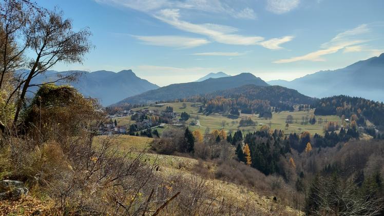
Discovering Tonezza's Mount Spitz, one of the most scenic peaks in the Vicentine Pre-Alps, among bays, military trails and chamois sightings. The Tronconi trail, with its 6 kilometers in length and an elevation gain of 720 meters, crosses the territory of Tonezza del Cimone until it reaches the summit of the mountain from where the view sweeps from Luserna and the Sette Comuni to Pasubio, embracing the plateau below. The Spitz to the south presents a very steep slope almost completely covered in scrub bush, while to the north it precipitates with imposing limestone banks for about 300 meters onto the Fiorentini road and onto Valdastico almost a thousand meters below. The Vicenza writer Antonio Fogazzaro in his novel Piccolo Mondo Moderno calls it "Picco Astore" (Goshawk Peak).
The itinerary
The itinerary, well described in Liverio Carollo's hiking guide, starts from the center of Tonezza, from the parking lot near the sports center, from where you take the Fontanelle path, an ancient pedestrian link with the high districts of Tonezza, bordered by dry stone walls and, in some places, by the traditional "laste" of ammonitic red. It climbs up through meadows and woods to path number 22 and comes to a first fork where you take the right in the direction of contra' Via; you then turn immediately left, penetrating among the houses until you cross Viale degli Alpini. Continuing slightly uphill, you exit at contra' Sella. Alternatively, to shorten the first part of the route, you can drive to the parking lot of the Edelweiss hotel or to the road junction that leads from contra' Sella to contra' Grotti. Once past contra' Sella, to continue toward the Spitz it is necessary to follow the Cai 537 marker and walk a short section of provincial road until the Tronconi trail starts on the left. You follow it, ignoring the intersecting roads, crossing two bays used decades ago by the owners of contra' Fontana for grazing their beasts. The mule track passes in the back of the stables, just below the Great War military road leading to the Vena Pass. After passing the Tèda del Moro Spelàio and the Tèda dei Tròli, the trail comes out on the hairpin bend of the military road at Pozza del Giasso, where the actual Tronconi trail begins, whose name refers to the past activities of the buds. The mule track then continues steadily uphill bordered by dry stone walls and beech and fir forests. Below, at times the Rio Freddo valley appears, while in front stands Mount Toraro, an Italian post in World War I supporting the nearby Campomolon fort. Crossing a last meadowy widening, the military road and the Vena di Sotto pass are reached again, with the "Sima dei Catùrni" summit on the left.
Breathtaking panorama
After about 10 minutes you arrive at the Vena di Sopra pass with a breathtaking panorama between val della Vena, Rio Freddo and Val d'Astico. From the pass, the path to the Spitz comes sharply off to the right among the grass: after about ten minutes of ascent, on the ridge bordering Val Barbarena, the trail bypasses the first of the two peaks of the Spitz, called Pala Piccola. Proceeding among beech, juniper and mountain pines, deep Austro-Hungarian military tunnels are crossed. During the last 15 minutes of the walk, you walk along the south side of the major peak, called Pala Grande, until you reach the summit where stands the cross placed in 1950 by the Acli of Vicenza. The effort of the climb is surely rewarded by the wonderful view from the summit. On clear days, the view can reach Adamello and the Vetta d'Italia, among others. As an alternative ascent to the Spitz, from the Vena Pass it is possible to take the road on the left that leads to Mount Campomolon with the fort of the same name and Mount Toraro, rich in history and memories. For the return you can retrace the Tronconi trail or alternatively, for experienced hikers because it is challenging, the Tarbisa trail, which ends near the Chiosco Alpino Hotel on the Fiorentini provincial road, just above the starting point of the Tronconi trail.
(GdV, domenica 17 marzo)